Since I had studied extracurriculars during my university years, at the last quarter of 2020 I had the opportunity to only study at 50% without penalties. With the extra free time I solo-prototyped a game based on cartography as a way to hone my game design skills.
The basics behind “Map Project” relied on the concept of triangulation: by knowing two points on a map, you can use sight angles to determine the placement of other objects in the real world. The game tasked you with mapping out the roads and buildings of the surrounding area using a few known points of interest.
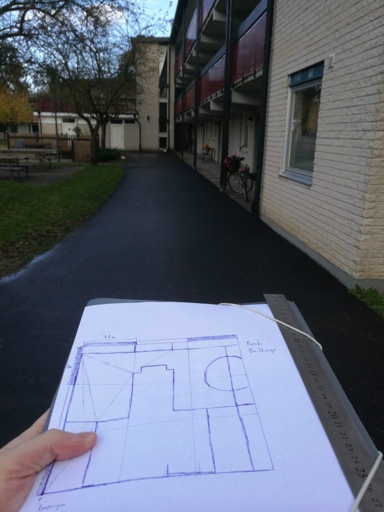
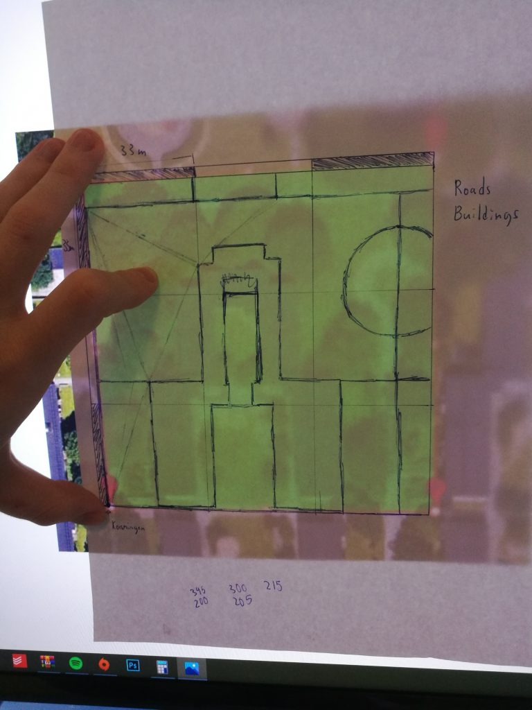
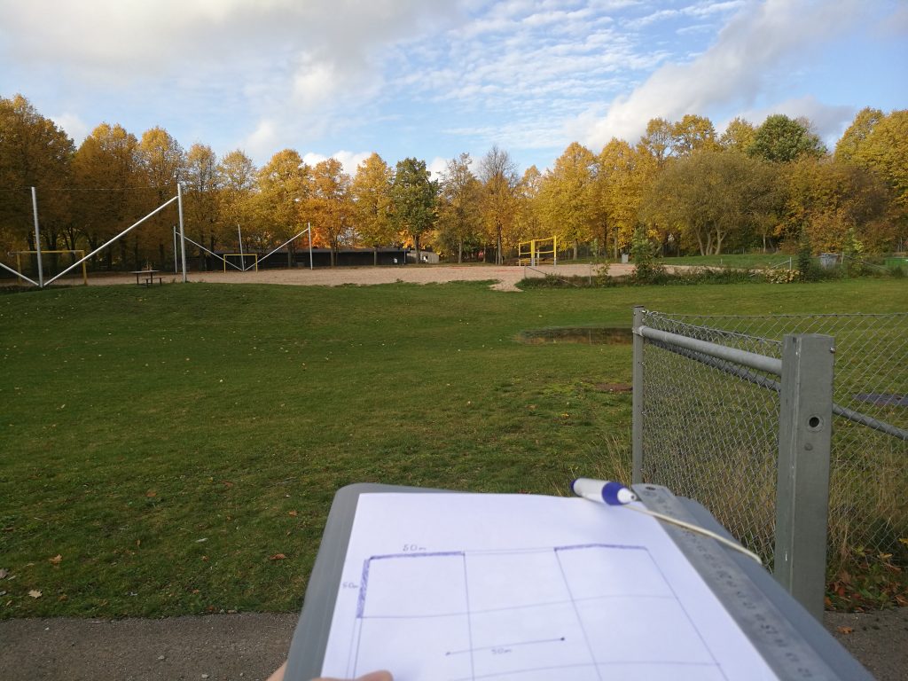
To see if the idea was viable to begin with, I first conducted a test in the real world with the help of a ruler and compass. I assigned a 100 x 100 m area near my home, marked two known points on the map and then went out to see if I could get an approximation of the layout of the surrounding area by measuring angles from a compass and comparing them on the map. Unfortunately I had access to neither a real compass nor angle ruler so I had to use smartphone apps which weren’t that accurate, but in the end I not only managed to make a map that had a resemblance to the real world but I also had fun doing it.
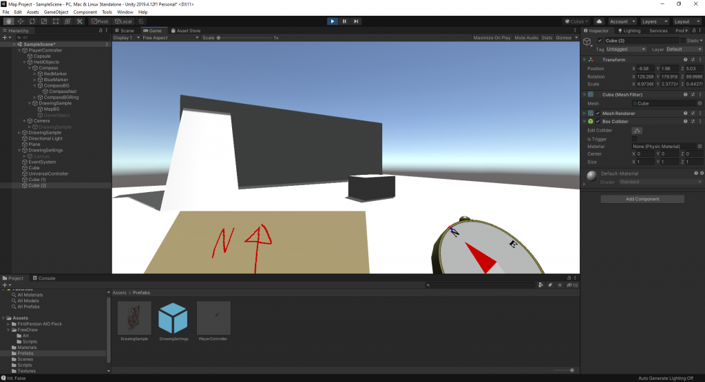
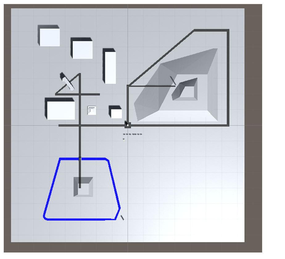
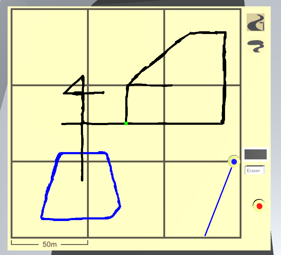
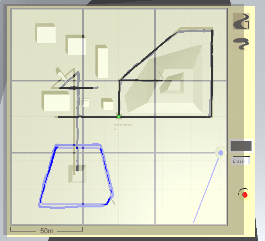
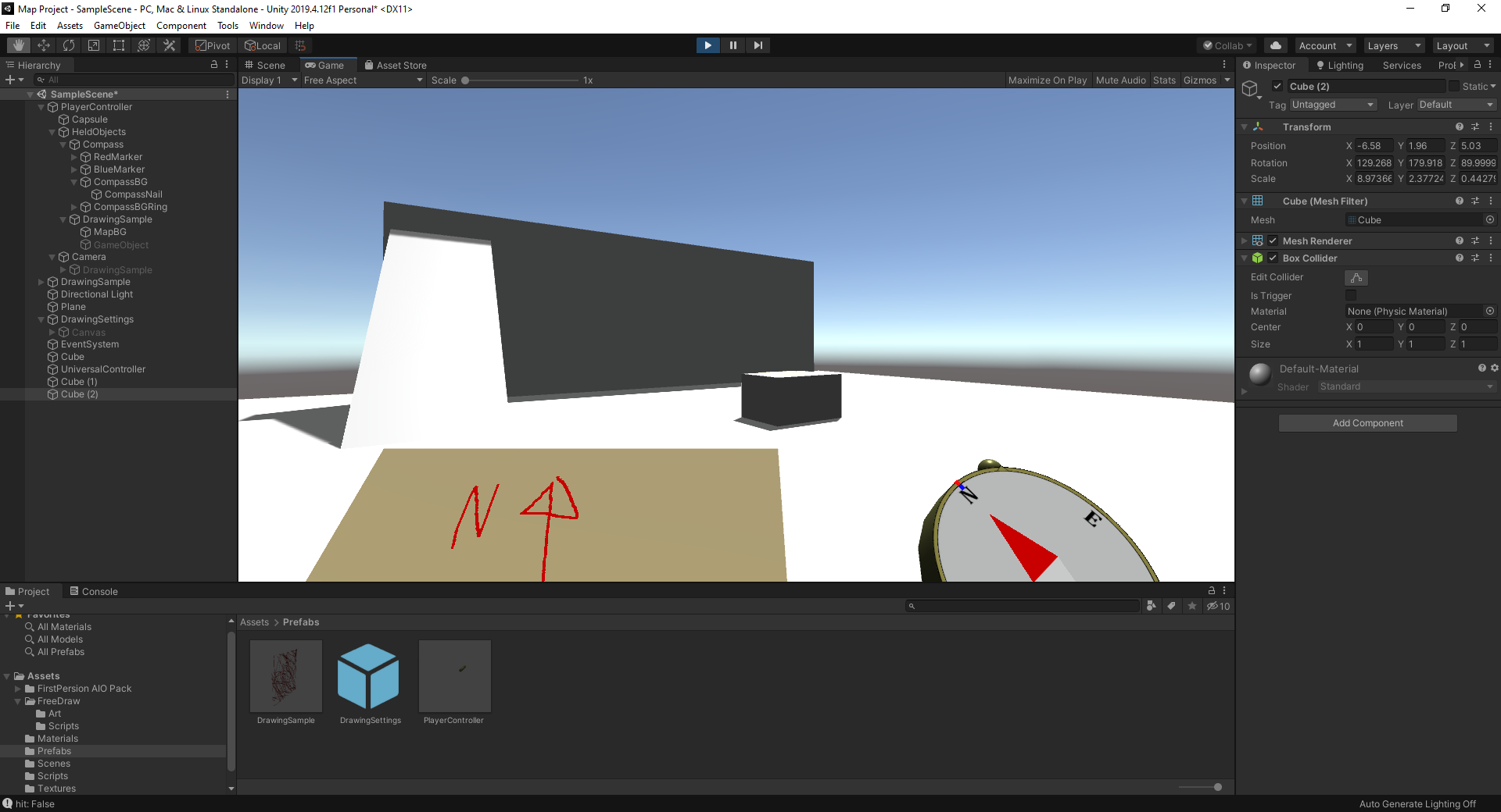
The next step was to create a prototype in Unity. Through the use of texture editing shaders, a simulated compass and sparse level design I recreated the real life test. The difficulty of mapping out areas could be made more or less complicated via several factors; adjusting the number of sightlines to known points, making complex pathways, hindering the player from walking to where they wanted to draw etc. I also hosted playtest sessions with my friends to see where the UI and UX could be improved. Sadly the project had to be dropped as the next university semester began.
Map Project still has potential and I’d like to revisit it in the future.